UPCOMING EVENTS
Join us for workshops, conferences, and networking events designed to advance your geospatial knowledge and career
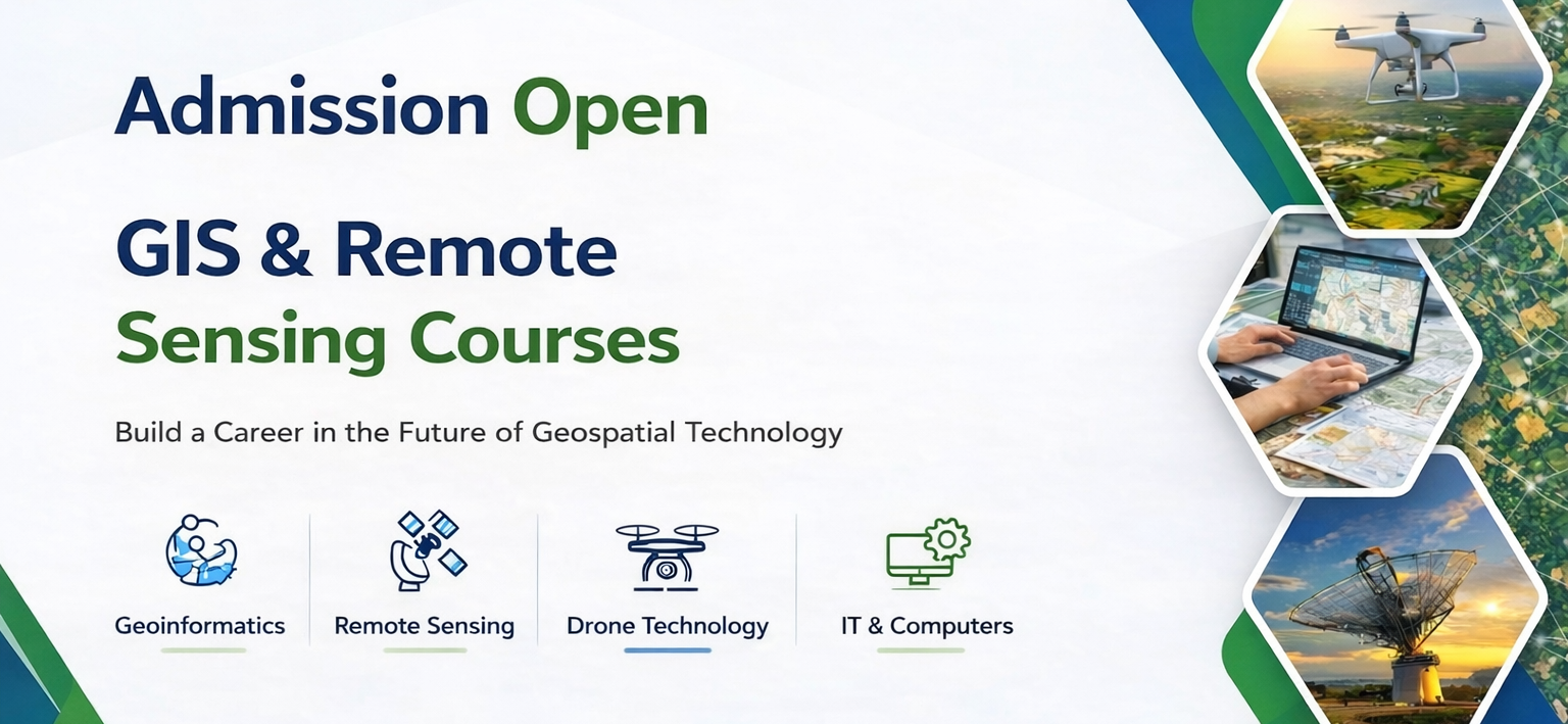
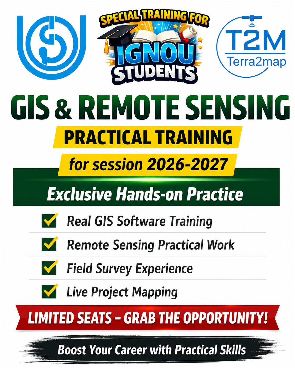
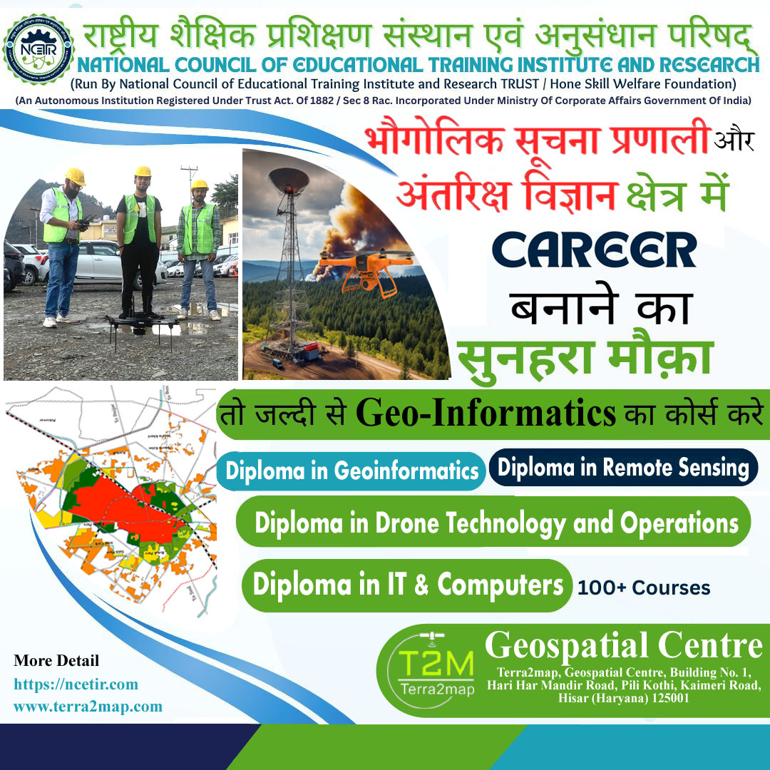
Admissions Open
August 2026
Geo-Informatics Courses
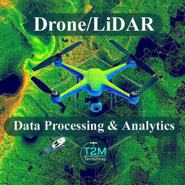
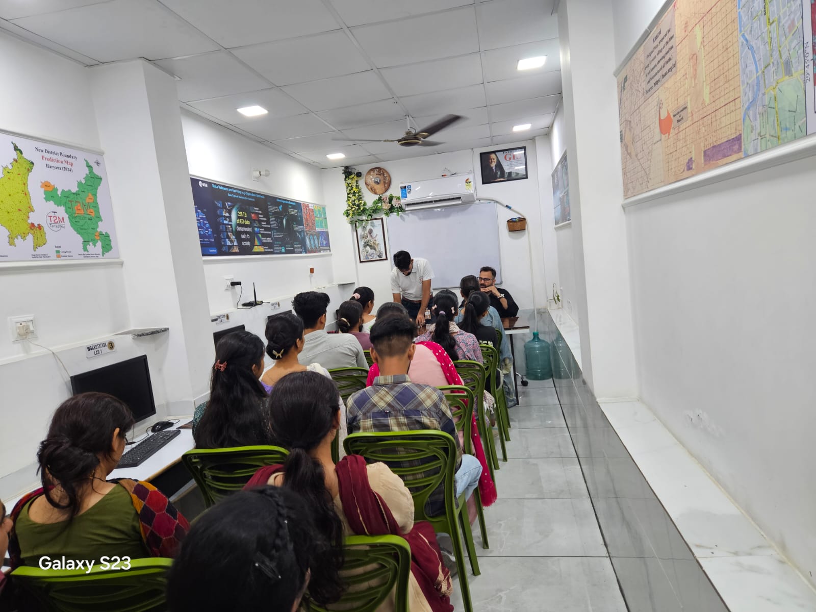
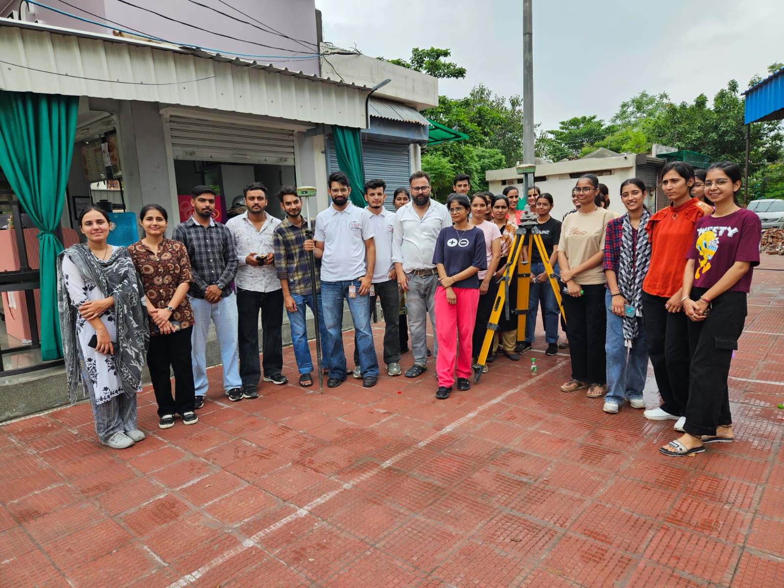
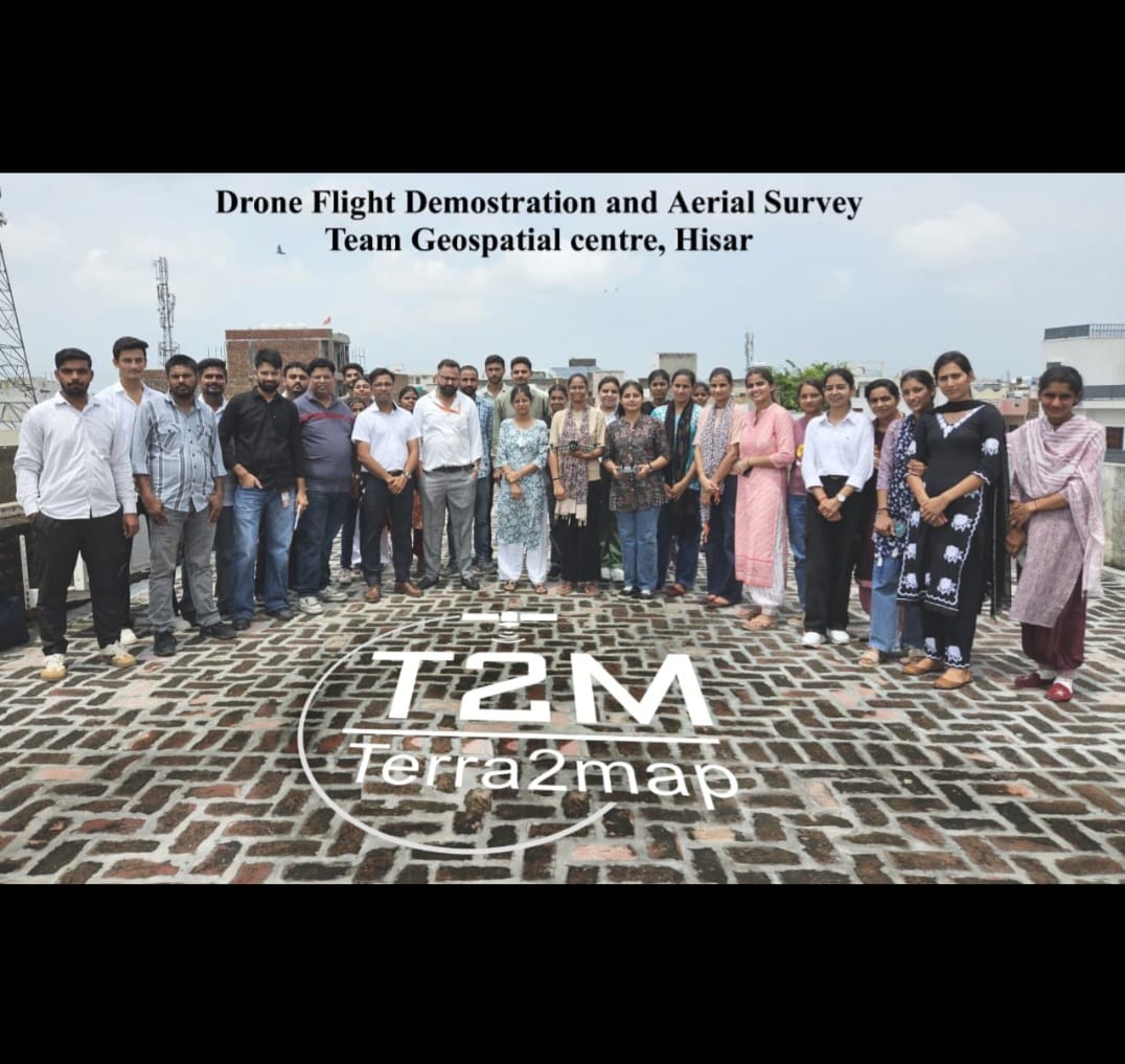
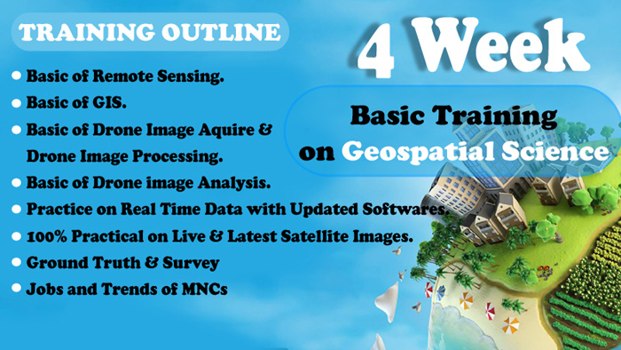
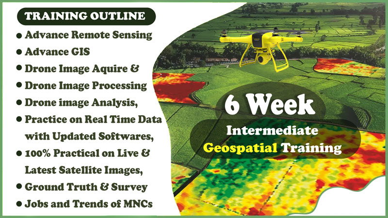
Admissions are now open for professional diploma programs in Geo-Informatics and emerging geospatial technologies. Gain practical skills in GIS, Remote Sensing, Drone Technology, and IT with industry-oriented training and hands-on projects.
Geospatial Centre, Hisar
Offline & Online
Limited Seats
Apply Now
Admission Open
August 2026
Diploma/Certificate-GIS
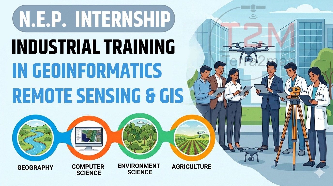
Diploma in Geoinformatics, Remote Sensing, Drone Technology, and IT & Computers offered by the National Council of Educational Training Institute and Research (NCTIR) in collaboration with Terra2Map.
Geospatial Centre
12/6 Months
₹40k/20k
Register Now


.png)